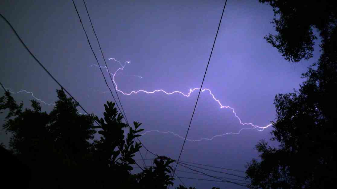
Severe storms are on the horizon for the Chicago area on Thursday, bringing with them a mix of weather hazards that could wreak havoc. Meteorologist Alicia Roman from the NBC 5 Storm Team warns of potential heavy rain, 75 mile-per-hour winds, large hail, and even tornadoes in the forecast. However, there’s a slight chance that the storms might not materialize due to dry air in the region. According to Roman, if the storms do form, they will be fast-moving, sweeping in and out quickly.
The day started off mild with a dense fog advisory in Lake and Kenosha Counties until 10 a.m. Temperatures are expected to soar into the low 90s inland, with some areas possibly reaching a scorching 94 degrees. Despite the heat, Chicago and the North Shore are anticipated to remain in the upper 80s. The record high temperature for May 15 stands at 91 degrees, a record set back in 1962. Dew points will be high, adding to the muggy conditions throughout the afternoon, making it feel more like the mid-to-upper 90s, according to Roman.
As the day progresses, the likelihood of strong to severe storms increases, with the most significant risk expected after 4 p.m. The entire Chicago area will be under an “enhanced” risk of severe weather, ranking at level three out of five on the Storm Prediction Center’s scale. The storms, if they do materialize, could start in the west around 4 p.m., moving towards Chicago by 6 p.m., and possibly impacting Northwest Indiana later in the evening. There’s even a chance that Beyonce’s Cowboy Carter tour at Soldier Field could be affected by the storms, with models showing potential splits that could bypass downtown Chicago altogether, Roman explained.
Looking ahead, Friday might bring isolated storm chances with temperatures remaining in the upper 80s. However, the weekend and the following week could see a return to more spring-like weather, with temperatures cooling down to the 60s and 70s. The uncertainties surrounding the development of these storms add an element of unpredictability to the situation, keeping residents on edge as they brace for potentially severe weather conditions.


