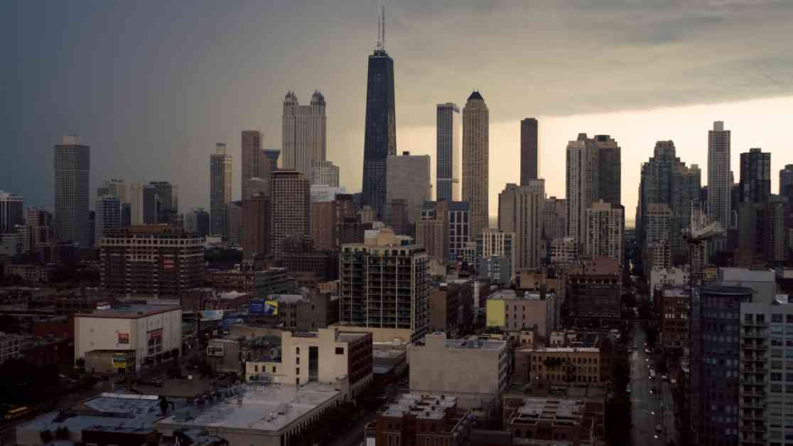
Severe Storms Threaten Chicago with Damaging Winds, Hail, and Snow
As Chicago braced itself for another round of severe weather, the National Weather Service issued warnings of damaging winds, hail, and even snow within a short span of time. This comes less than a week after a powerful system wreaked havoc in the region, leaving residents on edge.
The National Weather Service alerted the public to a “system of showers and scattered thunderstorms” that was expected to sweep across the Chicago area on Wednesday. Some of these storms have the potential to escalate into strong to severe conditions, heightening concerns for the safety of residents and property.
The Impact and Risk Levels
The entire Chicago area found itself under a “slight” risk for severe weather, categorized as level two out of five, based on reports from the National Weather Service on Tuesday morning. Counties such as Kane, DuPage, Cook, LaSalle, Kendall, Grundy, Will, and Kankakee in Illinois, as well as Lake, Porter, LaPorte, Newton, and Jasper in Indiana were all likely to be affected by the incoming storms.
According to the Storm Prediction Center (SPC), the conditions on Wednesday could provide a breeding ground for the formation of “a few supercell thunderstorms,” which have the potential to evolve into a swift-moving cluster impacting the border regions of Illinois and Indiana.
The Severity of the Storms
“Scattered thunderstorms can be expected Wednesday afternoon, some of which could be strong to severe with the potential to produce hail and damaging winds,” tweeted the NWS Chicago. The looming threats of gusty winds capable of toppling trees, lightning strikes, and hailstorm-induced car damage loomed large, with the added possibility of tornadoes not being ruled out at this time.
The Timing and Aftermath
As the day progressed on Wednesday, clouds began to gather over the city, hinting at the impending storm. While temperatures were anticipated to climb into the 60s once again, the weather forecast indicated an escalation in weather-related risks, including the looming threat of severe weather.
Although some non-severe storms were projected for Wednesday morning, the more intense part of the system was scheduled to make its presence felt in the afternoon and evening. Once the storms passed through the region, a rapid cooling down was expected, with rain likely to transition into wet snow starting Wednesday night, extending into the early hours of Thursday.
Following the departure of the snow, brisk northwest winds were predicted to keep temperatures on the cooler side, hovering in the low-to-mid 40s across the area. However, hopes of a reprieve were on the horizon, with temperatures expected to gradually rise as we headed into the weekend, with highs projected to reach the 50s.
In conclusion, the residents of Chicago were urged to stay vigilant, monitor the weather updates closely, and take necessary precautions to ensure their safety and well-being. As the city braced itself for the approaching storms, the resilience and preparedness of its people were set to be tested once again.


