**Chicago Snow Forecast: Up to 1.5 Inches Expected**
Scattered snow showers began encroaching on the Chicago area Wednesday morning, originating in the western suburbs and progressing throughout the day, according to the NBC 5 Storm Team. As northeastern Illinois braced for yet another frigid morning, the region faced single-digit temperatures and sub-zero wind chills.
**Snow Showers Sweep Across Chicago**
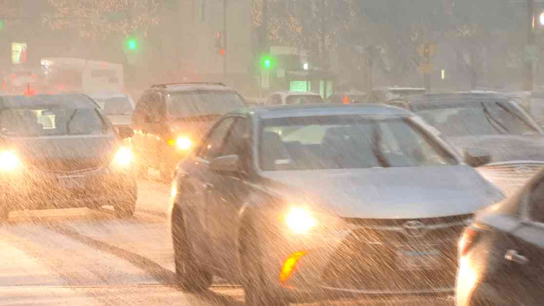
By 7:30 a.m., snowfall had commenced in select areas of Chicago, with the Illinois doppler radar detecting scattered snowfall in Aurora and Joliet. As the morning progressed, snow showers intensified, becoming more widespread around 8 a.m. The National Weather Service reported that snow originating from Iowa had started moving eastward into Illinois during the morning commute, potentially reducing visibility and causing snow accumulation on roads, leading to hazardous travel conditions.
**Road Safety Measures and Snowfall Predictions**
The National Weather Service issued a cautionary message urging commuters to allocate extra time for their travels, particularly in areas north of I-88 where the snowfall impact was expected to be most significant. As snow continued to move across the region, periods of snowfall were anticipated throughout the day, with intermittent breaks in the afternoon and the possibility of snowfall resuming by evening, potentially disrupting commutes. Snowfall was projected to taper off by Wednesday night.
Accumulations of one to one-and-a-half inches of snow were predicted by meteorologist Roman, with the potential for the snowfall to conclude by Wednesday night. Despite the relatively light snowfall amounts, the NWS emphasized the risk of slippery road conditions due to the freezing ground temperatures.
**Winter Weather Contrasts**
While Chicago braced for the impending snowfall, southern regions of the U.S., including parts of Louisiana, Mississippi, Alabama, and Florida, experienced winter storms resulting in substantial snowfall of up to 11 inches. Meteorologist Roman highlighted the significant difference in snowfall between these southern areas and Chicago, which historically averages 11.3 inches of snow in January, the snowiest month of the year.
This year, however, Chicago has observed a significantly lower snowfall total, with only 3.9 inches reported at O’Hare International Airport. This figure pales in comparison to the 16.1 inches recorded in January 2024, as per NWS historical data. If current snowfall trends persist, this January may witness the lowest recorded snowfall amount since only 0.6 inches fell in January 2017. In contrast, the highest snowfall recorded in January in Chicago dates back to 1918, with an accumulation of 42.2 inches.
As Chicago residents prepare for the impending snowfall, it remains crucial to exercise caution on the roads and remain vigilant during the winter weather conditions. Stay safe and warm amidst the wintry conditions, and remember to allow for extra travel time to reach your destination securely.


