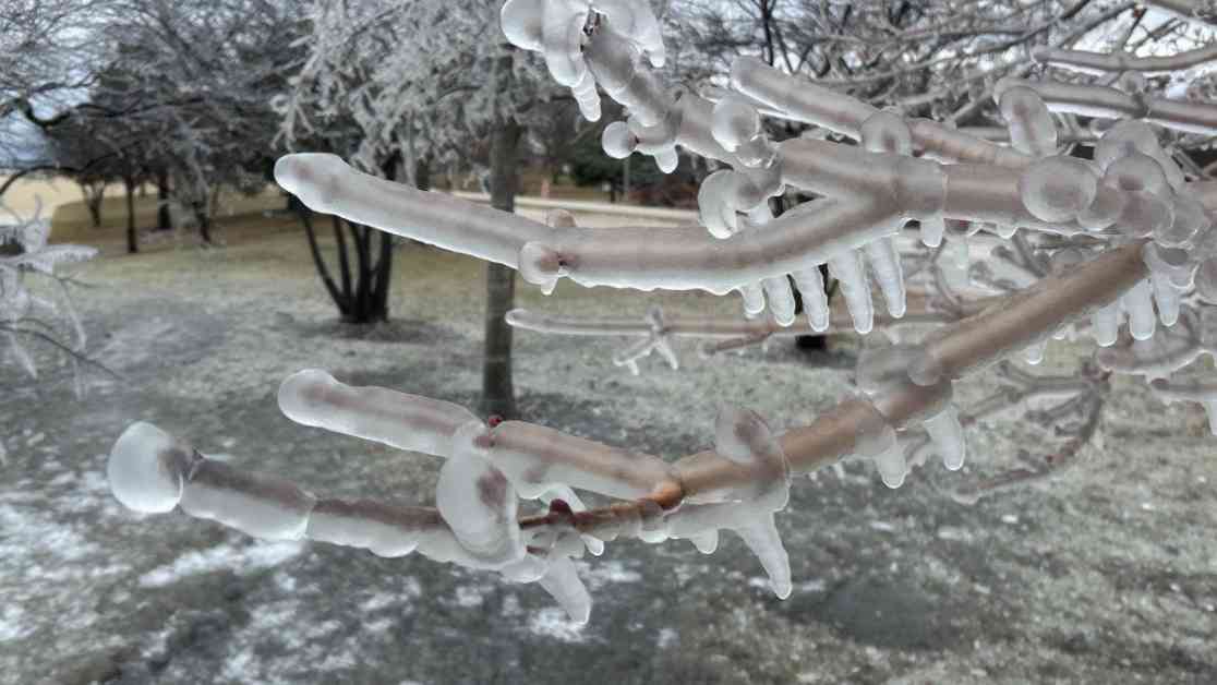
As the chilly embrace of winter continues to linger over the Chicago area, residents are bracing for yet another round of wintry weather on Saturday morning. While the forecast suggests that the amount of freezing rain and ice will be less than the ice event experienced on Wednesday night, the potential impact on travel remains a concern. Even the slightest amount of ice can pose significant challenges on sidewalks and untreated roads, making it crucial for residents to exercise caution during this period.
Anticipated Timeline and Weather Conditions
The window of concern is expected to be between 8 a.m. and 2 p.m. on Saturday, with precipitation levels predicted to remain light and sporadic. Initially starting as freezing drizzle or rain, the weather is projected to transition into sleet and snow later in the afternoon, clearing out around sunset or shortly after. Accumulations of snow and sleet are forecasted to be minimal, with expectations of a dusting or less than an inch.
Expert Insights and Forecast Variability
Despite the general consensus on the weather pattern, there are variations in the forecast models that add an element of unpredictability. Some models suggest no ice accumulations, while others indicate the possibility of up to 0.05 inches of ice. The challenge lies in pinpointing the exact boundary between freezing rain and snow/sleet, as two distinct streams of the jet stream converge from the north and south. The southern regions, particularly areas south of Interstate 88, are likely to witness a glazing of ice, whereas locations to the north may experience more sleet and snow. Regions south of I-80 could see temperatures rising above freezing for a brief period on Saturday afternoon.
Precautionary Measures and Long-Term Implications
Although Saturday’s weather system is not expected to unleash a major winter storm, it is imperative for residents to remain vigilant while driving and walking during the morning and afternoon hours. Given that temperatures are anticipated to remain below freezing until Sunday, untreated icy surfaces are likely to persist. A silver lining in this frosty forecast is the promise of some sunshine on Sunday, which, despite sub-freezing temperatures, can aid in melting ice on the ground.
Conclusion
In conclusion, as the Chicago area prepares for another brush with winter weather, the key takeaway is to exercise caution and stay informed about the evolving weather conditions. While the forecast indicates a relatively milder event compared to earlier in the week, the potential for icy surfaces and hazardous travel warrants careful attention. By staying alert and taking necessary precautions, residents can navigate this wintry mix with resilience and safety.


